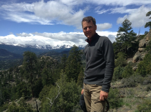
A SCOTTISH scientist is at the forefront of a £340million space mission to map the world’s forests.
Mathew WIlliams, of Edinburgh University, is part of a project codenamed Biomass which will aim to determine how much carbon is in the planet’s forests.
The mission will see a satellite launched into low Earth orbit in 2020 which will reveal where much of the world’s forests are being lost and help tackle climate change.
Mr Williams, a member of the Biomass Mission Advisory Group, said the satellite would carry out “a CT scan for the Earth.”
He said “The Earth’s forests are a critical resource yet there is a great deal of uncertainty around forest loss and re-growth.”
“We do not fully understand what’s happening to the carbon cycle, which drives climate change.
“If we can manage forest resources, we can impact carbon dioxide levels and therefore mitigate climate change.”
Up to 37million acres of forest are lost each year, the equivalent of 36 football fields per minute.
The satellite will use radar pulses which pierce the leafy canopy of trees and detect the amount of wood beneath, allowing scientists to calculate how much carbon they hold.
A 12metre-wide antenna will be unfurled in space to catch the return signals from the radar pulse.
The final details of the European Space Agency (ESA) mission will be unveiled at a symposium in Edinburgh this week.
The ESA approved the £340million project in May this year, after Mr Williams and the team proposed the scheme.
He continued: “We have to start managing our planet and this satellite will give critical insights into the state of climate change.
“We hope to provide up-to-date knowledge about Earth’s forest resource and how it’s changing.
“We can identify which countries are losing their forests and how they can be helped.
“Think of the mission as providing a CT scan for the Earth. Our planet is a patient and it’s struggling and we need to diagnose the extent of the problem.”
Mr Williams said the satellite would be particularly useful in tracking deforestation in harder-to-reach areas: “We know our forests in America and Europe pretty well.
“The problem is in the tropical rainforests in south America, across to the heart of Africa and into southeast Asia where most of the forests are and where the deforestation is taking place.”
Ruth Boumphrey, head of earth observation at the UK Space Agency, said: “We know carbon is locked up in trees.
“What we don’t know is what’s happening to trees in many of the world’s major forests, especially in tropical countries such as Brazil and Indonesia.
“This mission will tell us exactly what’s going on. Being armed with that knowledge could help us manage carbon levels and reduce the rate of climate change.”
